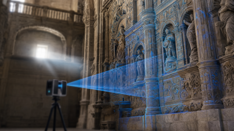
You already have the data. We turn it into answers.
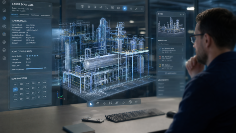
LiDAR, laser scans, photogrammetry, BIM/CAD and other 3D datasets contain far more information than is usually extracted from them.
Muotech processes and combines these datasets to identify changes, deviations, geometry and anomalies — and delivers an engineering-ready result.
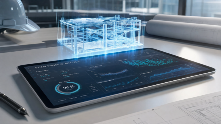
Scan → Process → Analysis → Report
Six ways we turn 3D datasets into engineering-ready answers.
3D Data AssessmentReview your dataset, determine what can be extracted and propose the analysis.
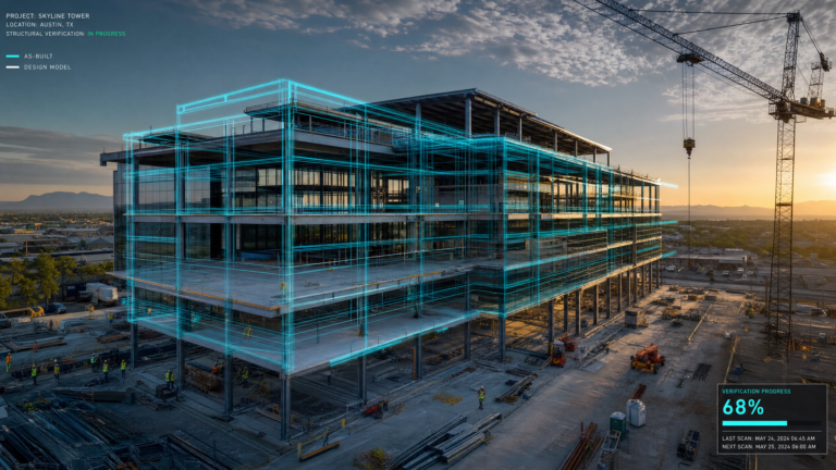
Deviation AnalysisCompare LiDAR/scan data against BIM/CAD or reference geometry.
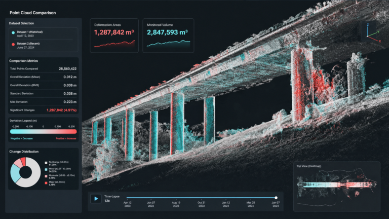
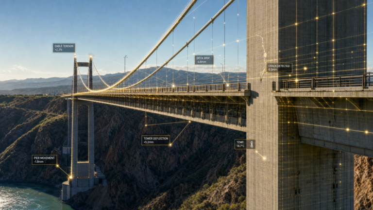
Change DetectionCompare scans from different dates and identify or quantify changes or deformation.
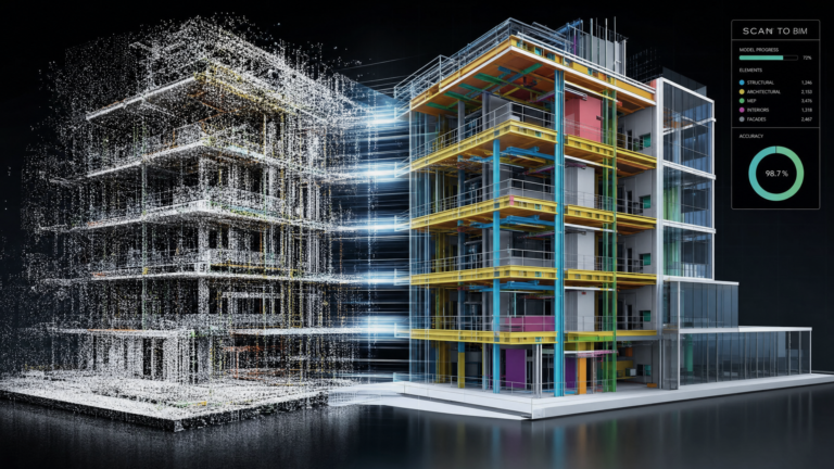
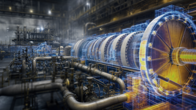
3D Reconstruction & SegmentationConvert raw point clouds into structured 3D models and identify relevant objects and features.
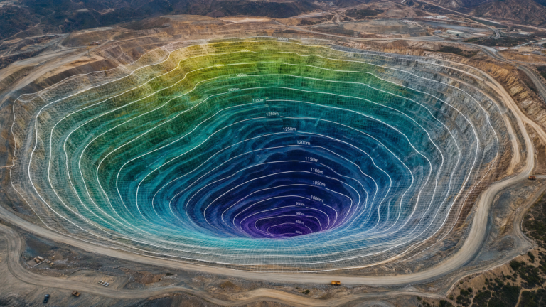
Multi-Data AnalysisCombine LiDAR/photogrammetry with CAD, geological or inspection data.
Advanced Engineering StudyBespoke analysis for complex infrastructure or industrial assets.
Tell us about your dataset and what you need to understand.